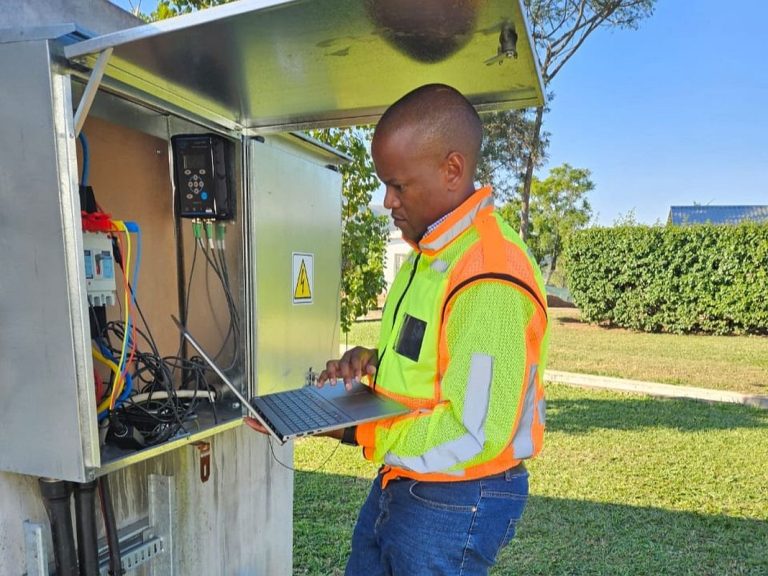
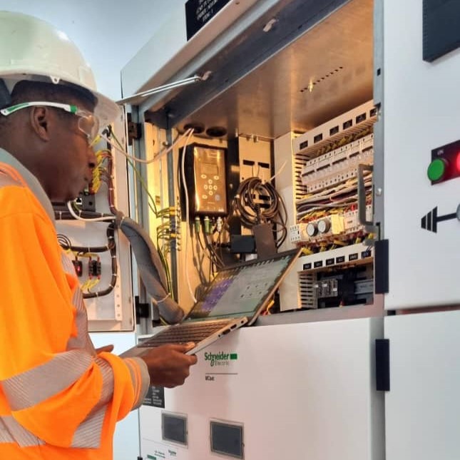
Varför skall man mäta elkvalitet?
Orsakerna till att störningar uppstår och förekommer i elnätet är många. För att effektivt kunna åtgärda och förebygga elkvalitetsrelaterade störningar och fenomen är det en förutsättning att man vet hur det faktiskt ser ut. Genom att mäta och presentera mätdata på ett överblickbart sätt har man förutsättningar att snabbt och effektivt få fram ett korrekt underlag för att fatta korrekta beslut.